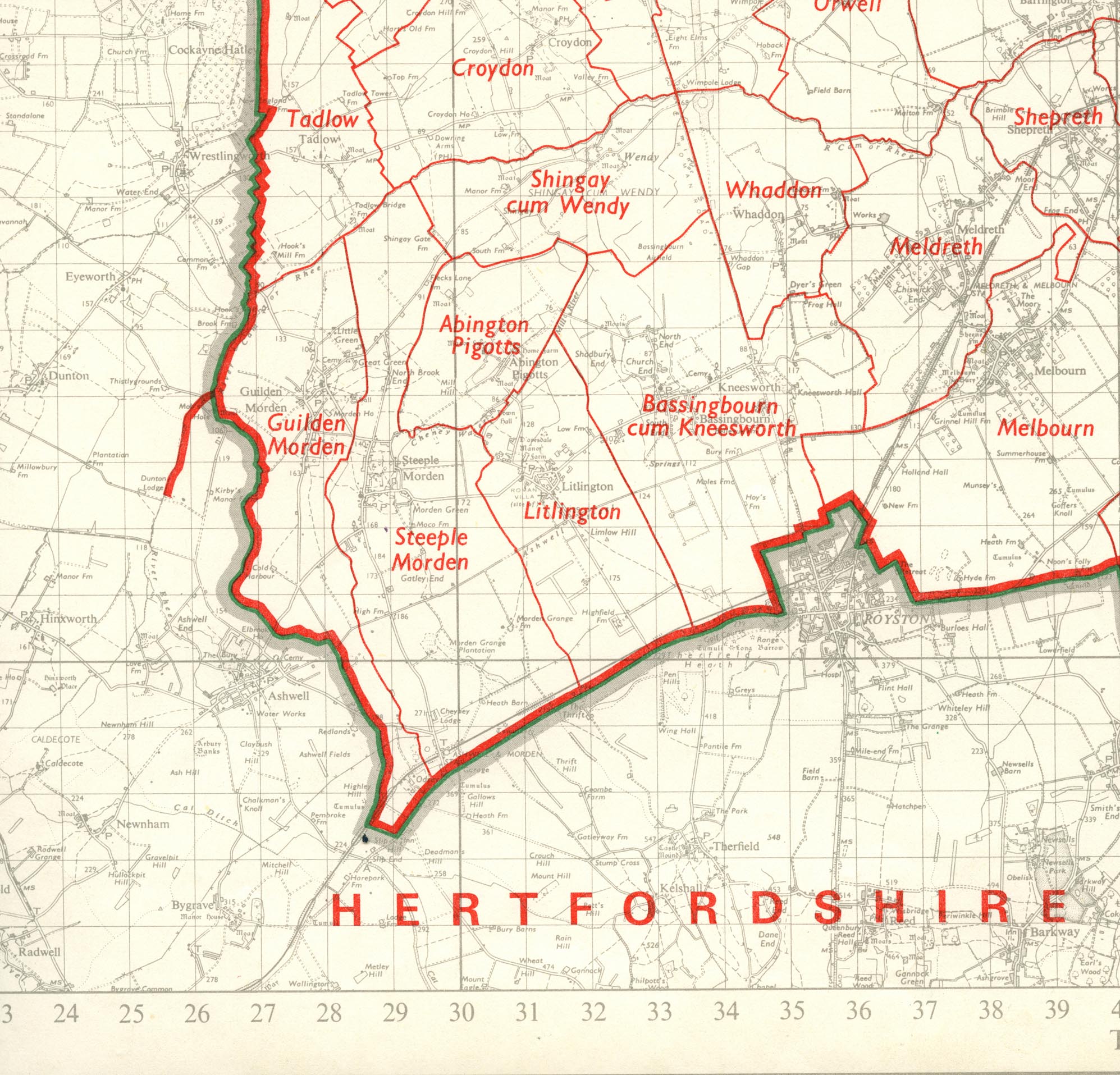
Our Parish location and boundary
The parish of Steeple Morden lies 14 miles 26km south-west of Cambridge. In length it stretches 6 miles 10km from the river Cam or Rhee, its northern boundary, to the Icknield Way (now A505) in the south. It is 2 miles 3.25km wide at its broadest, but just north of the village narrows to a mere 710 yards 650m.To the west, its boundary with Guilden Morden follows the West Brook, so named by the 13th century. On the east the boundary is old water courses and ancient field ways.